College of Engineering Technology
JOH 200
1009 Campus Drive
Big Rapids, MI 49307
Phone: (231) 591-2890
Fax: (231) 591-2946


Undergraduate Certificate
Locations: ,
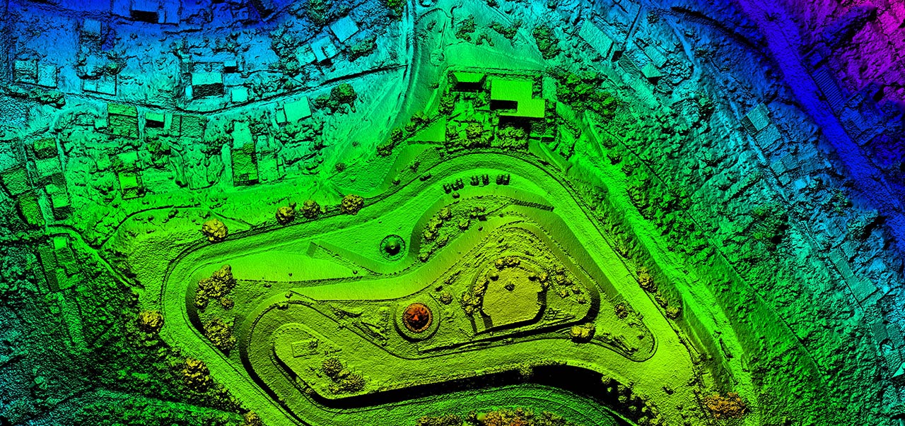
Geographic Information Systems (GIS) is a powerful and fast-growing technology that’s changing how industries make decisions, from environmental conservation to real estate and city planning. This certificate program gives you the essential skills to use GIS tools in your future career, workplace, or organization.
You’ll learn how GIS works, from hardware and software basics to managing spatial data and sharing it online. Through hands-on projects, you’ll explore topics like digital mapping, GPS, remote sensing, and mobile data collection. You’ll also study federal mapping standards, land survey systems, and how property boundaries are defined—all while gaining practical experience with industry software used in real-world case studies.
This program is available in-person or online. Whether you thrive in a classroom or prefer learning from home, Ferris State gives you the power to take control of your future. With flexible options that fit your life, you’ll get the same Bulldog-quality education, wherever you are.
![]()