College of Engineering Technology
JOH 200
1009 Campus Drive
Big Rapids, MI 49307
Phone: (231) 591-2890
Fax: (231) 591-2946
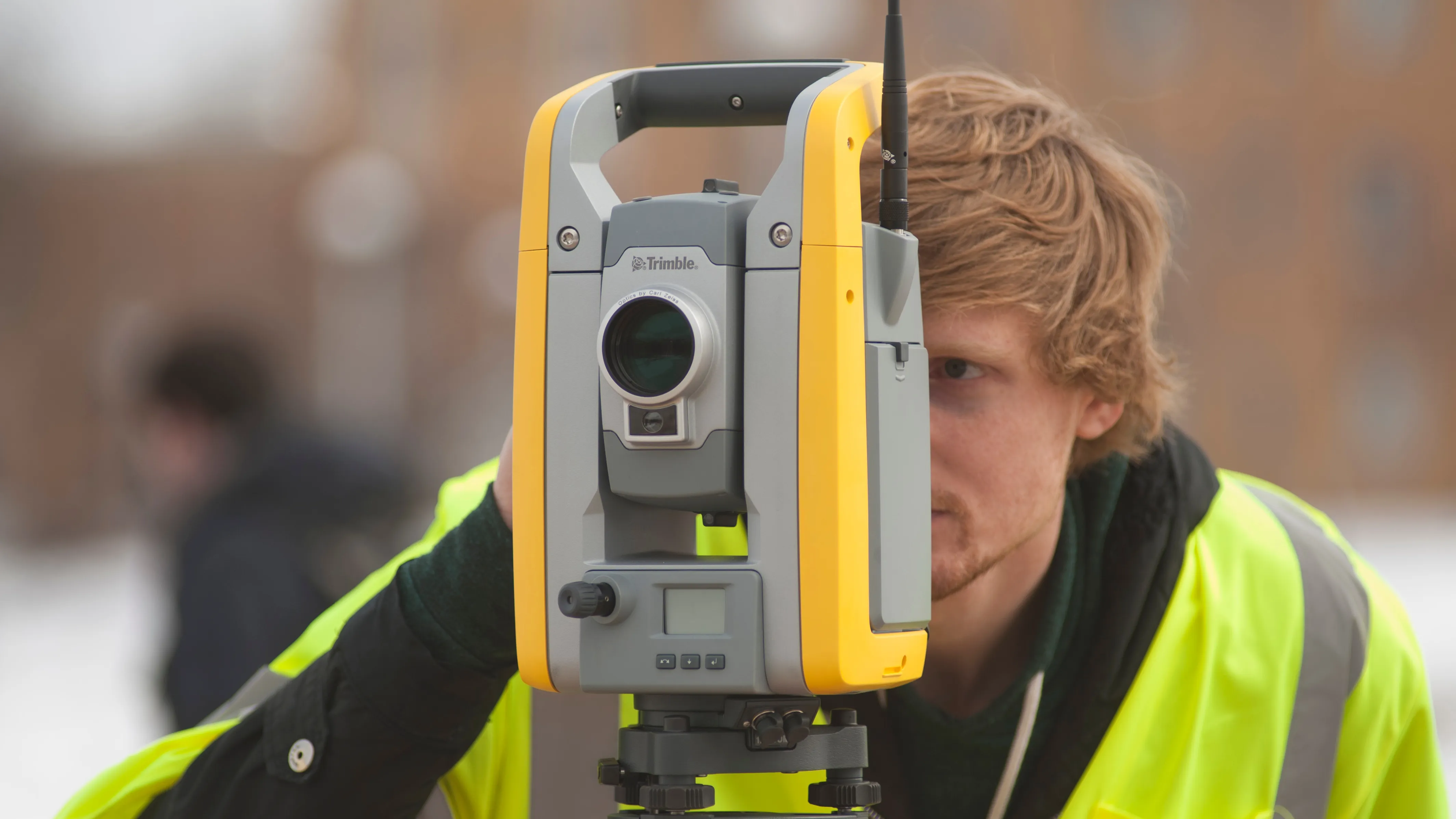
A survey with 16 questions was sent to 650 Alumni of the Surveying Engineering Department. Of these 650 the department received 177 filled questionnaires. An analysis of the results shows that the state of the Surveying Engineering Department Alumni of Ferris State University is excellent. 88% of these Alumni are working in the Surveying Engineering profession, the average salary is $74000 which is well above the average salary stated by the US Department of Labor for Professional Surveyor. From these Alumni 19% are earning more than $100,000. More than 71% are licensed as Professional Surveyors and 5% are Professional Engineers.
Areas generally perceived as the most critical need in surveying education in the next five years are:
Areas perceived as least relevant were photogrammetry and remote sensing except for those working in the photogrammetry industry.
The following action was taken to address these concerns:
The complete survey with the questions, results and an analysis is presented in the attached Appendix.
Category | Yes | No |
---|---|---|
|
Yes |
No |
Participants |
147 |
20 |
Percentage |
88% |
12% |
Many of the alumni that answered No have indicated working in related fields such as civil engineering, Photogrammetry, and so on.
This question reflects program outcome number 1.
Category | Number | Percentage |
---|---|---|
Government |
33 |
20% |
Academia |
4 |
3% |
Private |
127 |
77% |
Description | SIT | PS | EIT | PEs |
---|---|---|---|---|
Total number out of 177 |
39 |
113 |
18 |
7 |
Percentage |
22% |
64% |
10% |
4% |
Alumni that have graduated before 2000 |
23 |
109 |
13 |
7 |
Percentage |
15% |
71% |
9% |
5% |
Salary Range In $1000 | No of participants | Percentage % |
---|---|---|
<30 |
3 |
2 |
30 - 40 |
4 |
3 |
40 - 45 |
8 |
6 |
45 - 50 |
15 |
11 |
50 - 55 |
14 |
10 |
55 - 60 |
11 |
8 |
60 - 65 |
12 |
8 |
65 - 70 |
14 |
10 |
70 - 80 |
11 |
8 |
80 - 90 |
11 |
8 |
90 - 100 |
12 |
8 |
over 100 |
27 |
19 |
Average Salary (142 participants all alumni since 1974): $ 74,014
Remarks:
Graduation
Year Range | Average Salary ($) |
---|---|
2000 |
55,717 |
1990 |
68,480 |
1980 |
83,121 |
1970 |
86,014 |
Range | Number | Percentage |
---|---|---|
Less than 5 |
25 |
15% |
5 to 10 |
21 |
13% |
10 to 25 |
29 |
18% |
25 to 50 |
16 |
10% |
over 50 |
70 |
44% |
Percentage that said Yes | Number (out of 161) | Category |
---|---|---|
82% |
138 |
Land surveying which is the surveying of an area for its correct determination or description for its conveyance, or for the establishment or re-establishment or a land boundary or the designing or design coordination of the plotting of land and the subdivision of land. |
62% |
105 |
Geodetic surveying which includes surveying for determination of the size and shape of the earth both horizontally and vertically and the precise positioning for points on the earth utilizing angular and linear measurements through spatially oriented spherical geometry. (include GPS) |
46% |
78 |
Utilizing and managing land information systems through establishment of datums and local coordinate systems and points of reference. |
80% |
136 |
Engineering and architectural surveying for design and construction layout of infrastructure. |
76% |
129 |
Cartographic surveying for the making of maps, including topographic and hydrographic mapping. |
Skill | Average |
---|---|
Leadership |
4.3 |
Teamwork |
4.4 |
Communication |
4.6 |
Problem Solving |
4.4 |
5=critical 4=very important 3=important 2=not very important 1=not needed
Skill | Average |
---|---|
Leadership |
3.2 |
Teamwork |
3.7 |
Communication |
3.4 |
Problem Solving |
4.2 |
5=excellent, 4=very good, 3=good, 2=not very good 1=not at all
This section reflects program outcome 5 and demonstrates that indeed graduates are able to function and communicate effectively both as individuals and as members of teams.
Subject | Average |
---|---|
Legal Aspects/Land Boundaries |
4.3 |
Business Aspects |
3.8 |
Geodesy/GPS |
3.7 |
Photogrammetry/Remote Sensing |
2.6 |
Data Analysis |
3.7 |
Route Surveying/Traverse/COGO |
4.1 |
GIS/LIS |
2.8 |
CAD/ Computer Applications |
4.2 |
Map Projections/Coordinate Systems |
3.6 |
Leveling |
3.7 |
Land Use Design |
3.4 |
Automated Data Collection and Processing |
4.1 |
Soils/Drainage/Hydrology |
3.0 |
5=critical 4=very important 3=important 2=not very important 1=not needed
Subject | Average |
---|---|
Legal Aspects/Land Boundaries |
4.0 |
Leveling |
4.0 |
Route Surveying/Traverse COGO |
3.98 |
CAD/Computer Applications |
2.9 |
Automated Data Collection and Processing |
2.7 |
5=excellent, 4=very good, 3=good, 2=not very good 1=not at all
It is important to note that many surveying engineering technologies and specifically CAD/Computer applications and automated data collection and processing software have dramatically changed in the last 20 years. The numbers reflects the fact that practical education (labs) that was given ten or more years ago is often no longer relevant. The department has recently acquired 38 new computers and all the software in this lab is state-of-the-art with the latest versions installed.
Many have expressed their gratitude and wrote kind words about the program in this section for example:
Some have stressed again the importance of management abilities and team work, and the importance of GPS and internet technologies.
Surveying Engineering Department
Gabor Barsai
915 Campus Drive,
Swan 314
Big Rapids, MI 49307
231-591-3115
[email protected]
JOH 200
1009 Campus Drive
Big Rapids, MI 49307
Phone: (231) 591-2890
Fax: (231) 591-2946