College of Engineering Technology
JOH 200
1009 Campus Drive
Big Rapids, MI 49307
Phone: (231) 591-2890
Fax: (231) 591-2946


Bachelor's Degree
Locations:
The Surveying Engineering bachelor’s degree program gives you strong technical skills and practical field experience to prepare you for a rewarding career in a high-demand field.
As a surveying engineering student, you'll acquire skills in gathering, examining, and utilizing spatial data to address practical, real-world problems. From defining property boundaries to supporting global infrastructure and environmental monitoring, you'll gain expertise in modern tools like GPS, 3D scanning, GIS, photogrammetry, geospatial technology, and remote sensing.
With a curriculum designed for the future of the industry, you’ll be ready to lead projects in government, construction, environmental science, and more. Surveying Engineering is a profession rooted in precision, innovation, and impact. You’ll help communities grow safely, sustainably, and smartly.

![]()
As one of the largest undergraduate surveying engineering programs in the Midwest, and among the largest in the nation, the B.S. in Surveying Engineering leads the way in forward-thinking, industry-aligned education.

![]()
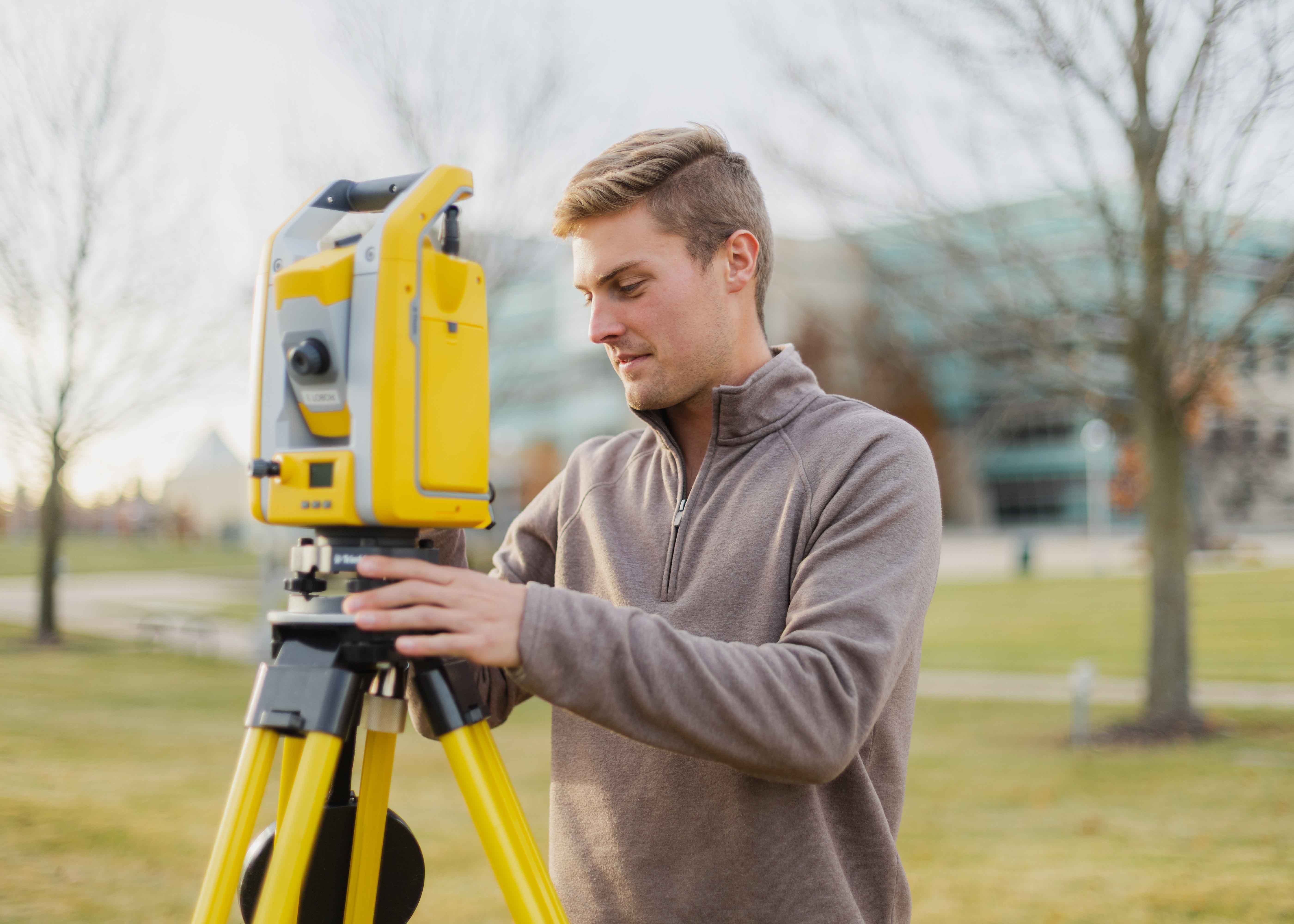
From internships in Alaska to working with drones, GPS, and laser scanners, surveying engineering students get hands-on field experience with the latest surveying equipment.

![]()
There simply are not enough graduates in surveying engineering to fill the demand for occupations like cartographers, surveying and mapping technicians, and geographic information systems professionals.

![]()
With over a dozen program-specific scholarships to apply to, the surveying engineering program is committed to supporting students' success.
![]()
![]()
![]()
Beyond the classroom, the Surveying Engineering program has resources and groups that help students get positioned for successful careers.
Read More Surveying Engineering Stories

The Bachelor of Science in Surveying Engineering is accredited by the Engineering Accreditation Commission of ABET under the General Criteria and the Program Criteria for Surveying and Geomatics Engineering.