

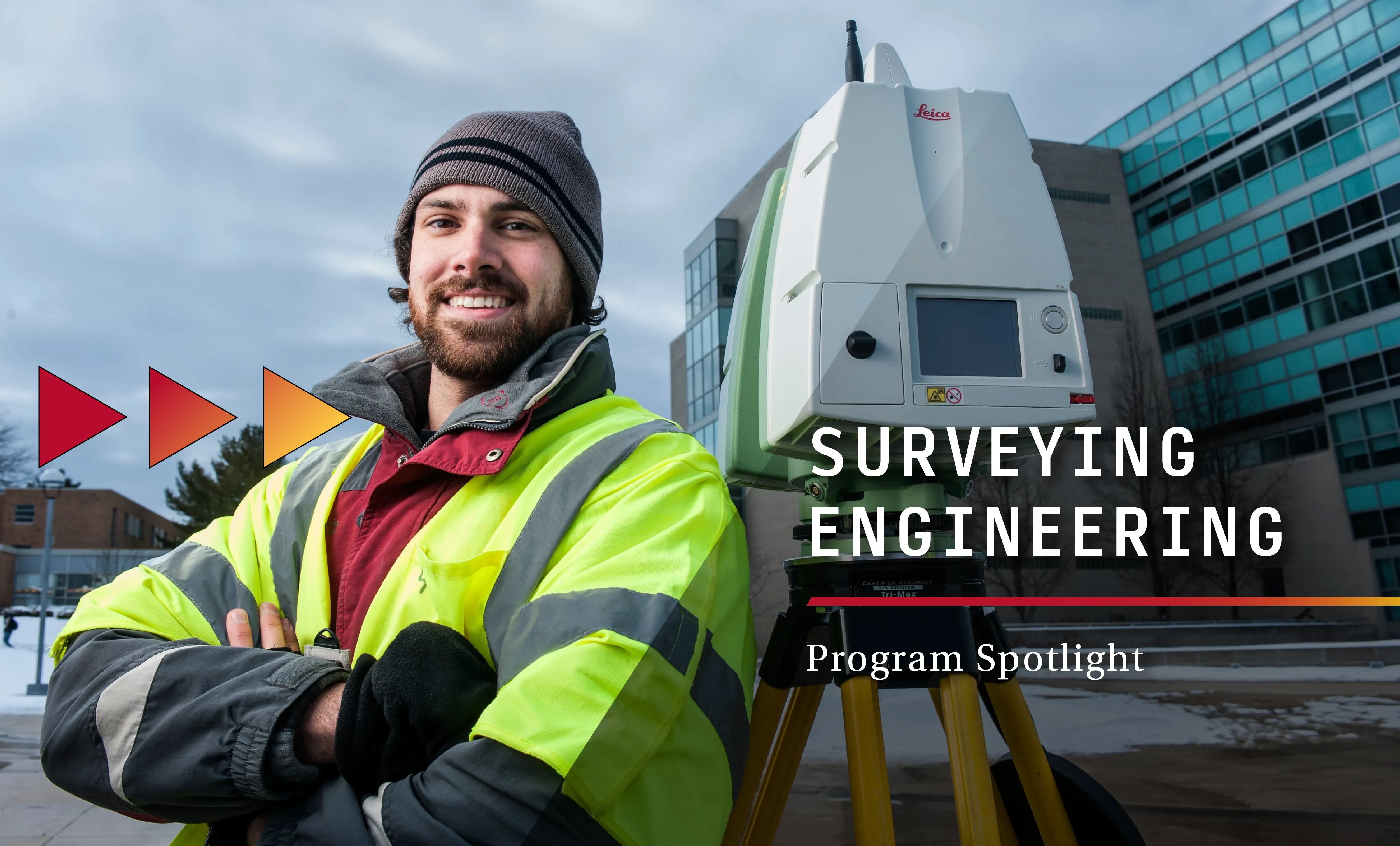
Surveying Engineering at Ferris State: Tools, technology, and hands-on training
Earning a surveying engineering degree can set you on a path toward a high-paying, in-demand career. Combining technology, problem-solving, and outdoor fieldwork, surveyors play a critical role in the construction of buildings, highways, and the broader built environment. Majoring in surveying at Ferris State University provides hands-on learning needed to begin a career as a professional surveying engineer.
Ferris State University's Bachelor of Science in Surveying Engineering combines the core principles with real-world experience using modern surveying equipment. From tape measures and levels to drones, LiDAR systems, and digital mapping software, students graduate career-ready with strong educational knowledge and practical field skills.
What tools do surveying engineering students use?
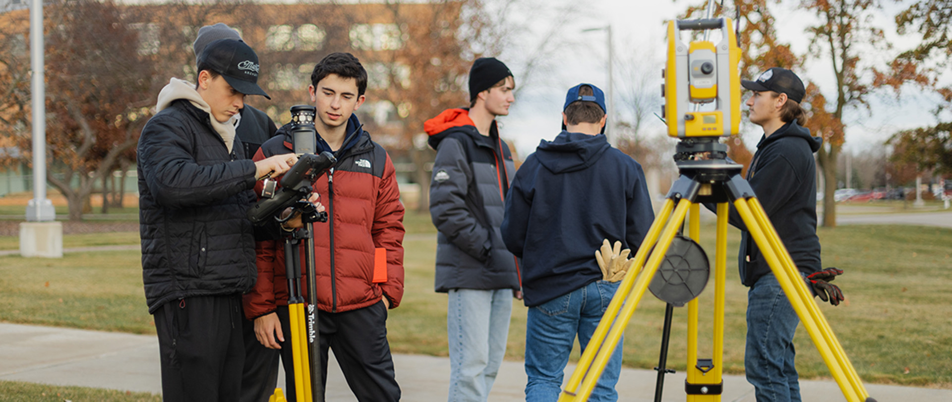
Surveying engineering students at Ferris State University work with a wide range of equipment throughout the program. The curriculum intentionally introduces tools in stages, starting with foundational instruments and progressing to advanced technology used in professional practice.
According to Michael Flowers, Assistant Professor in the Surveying Engineering program, that progression is intentional.
"We start students off with a tape measure, " Flowers said. "Pretty basic."
While simple, starting with manual tools helps students understand how measurements are calculated and why accuracy matters before moving to automated systems.
Early coursework focuses on basic instruments such as levels and theodolites. These tools require students to manually measure angles and elevations, reinforcing the mathematical and geometric principles behind land surveying.

By learning these techniques first, students develop a deeper understanding of how modern digital instruments function. Rather than relying entirely on automation, they understand how the equipment works and how to verify accuracy in the field.
Learning industry-standard surveying technology
As students move through the program, they start using the same technology as professional surveyors across the United States.
By the end of their first surveying course, students start using robotic total stations and high-precision GPS. These instruments allow surveyors to measure angles, distances, and coordinates with exceptional precision.
“These are the instruments people are using in industry,” Flowers said. “We want students working with that equipment early, once they understand the theory behind it.”
advanced Surveying Technology: Lidar, Remote sensing, and drones
Upper-level courses introduce advanced technologies that are increasingly used in infrastructure, construction, and land development projects.
LiDAR scanning systems use laser pulses to capture millions of data points. This allows students to generate highly detailed three-dimensional models of landscapes, buildings, and infrastructure. For example, these models can show the elevation of terrain on a construction site, the structure of a bridge, or the layout of a roadway corridor. Unlike traditional point-by-point surveying, scanning systems can document entire environments quickly and accurately.

Students can also gain experience with unmanned aerial vehicles, commonly known as drones, for remote sensing and aerial mapping. By taking aerial photos and processing them with specialized software, students can create point clouds and 3D surface models.
These models support digital mapping, geographic information systems (GIS), and engineering design projects.
"These are tools that surveyors use everyday now," Flowers said. "We make sure students encounter them in the classroom rather than for the first time on the job."
from fieldwork to finished projects
A key part of the Surveying Engineering program is teaching students the full surveying workflow. Students learn to collect field measurements and produce finished maps and project deliverables.
In many courses, instructors assign project-based tasks such as performing a topographic or boundary survey for a designated site. Students begin by gathering measurements outdoors using professional surveying equipment such as total stations and GPS receivers.

After completing the fieldwork, they return to the lab. There, they download, process, and analyze the data using industry-standard software like AutoCAD Civil 3D, Trimble Business Center, and ArcGIS Pro.
"In industry, surveyors often specialize in either fieldwork or office production," Flowers said. "Our students gain experience in both areas. They collect the data themselves and then learn how to process it into something usable."
how does Hands-on training prepare students for Surveying Careers?
Access to professional equipment and hands-on training helps prepare students for internships and entry-level jobs. Students not only use professional-grade surveying equipment during scheduled labs, but they also have opportunities to access equipment outside of class.
Ferris State University's Surveying Engineering program allows students to check out equipment from the program's equipment room at no cost. This provides students with additional time to practice using tools such as total stations, GPS systems, and digital mapping software while building confidence in their technical abilities.

“Some of the companies our students go on to work for don’t even have access to this level of technology,” Flowers said. “Here in the program, students can take the time to learn it and deeply understand it.”
This combination of theory, hands-on practice, and exposure to modern surveying technology helps graduates transition more smoothly into professional surveying and engineering environments.
What Jobs can you do with a Surveying engineering degree from ferris state?
Graduates of Ferris State University's Surveying Engineering program pursue careers such as:
- Licensed professional surveyor
- Survey technician
- Construction layout specialist
- Geospatial analyst
- LiDAR or scanning technician
- GIS mapping professional
Many graduates also seek professional licensure through groups like the National Council of Examiners for Engineering and Surveying (NCEES). This helps them move into leadership roles in engineering and surveying firms.
Career Outlook
Prepare for a Career in Modern Surveying Engineering
Blending core surveying concepts with hands-on training in advanced technology prepares Ferris State students for a changing profession.
Graduates of Ferris State University’s Surveying Engineering program leave with technical knowledge, field experience, and digital mapping skills. These skills support infrastructure projects, land development, and engineering design across the country.